Turkey Sim Card, Door to Door PCR Test
Aiport Transfer, Daily Car rental with Driver
and more services

-
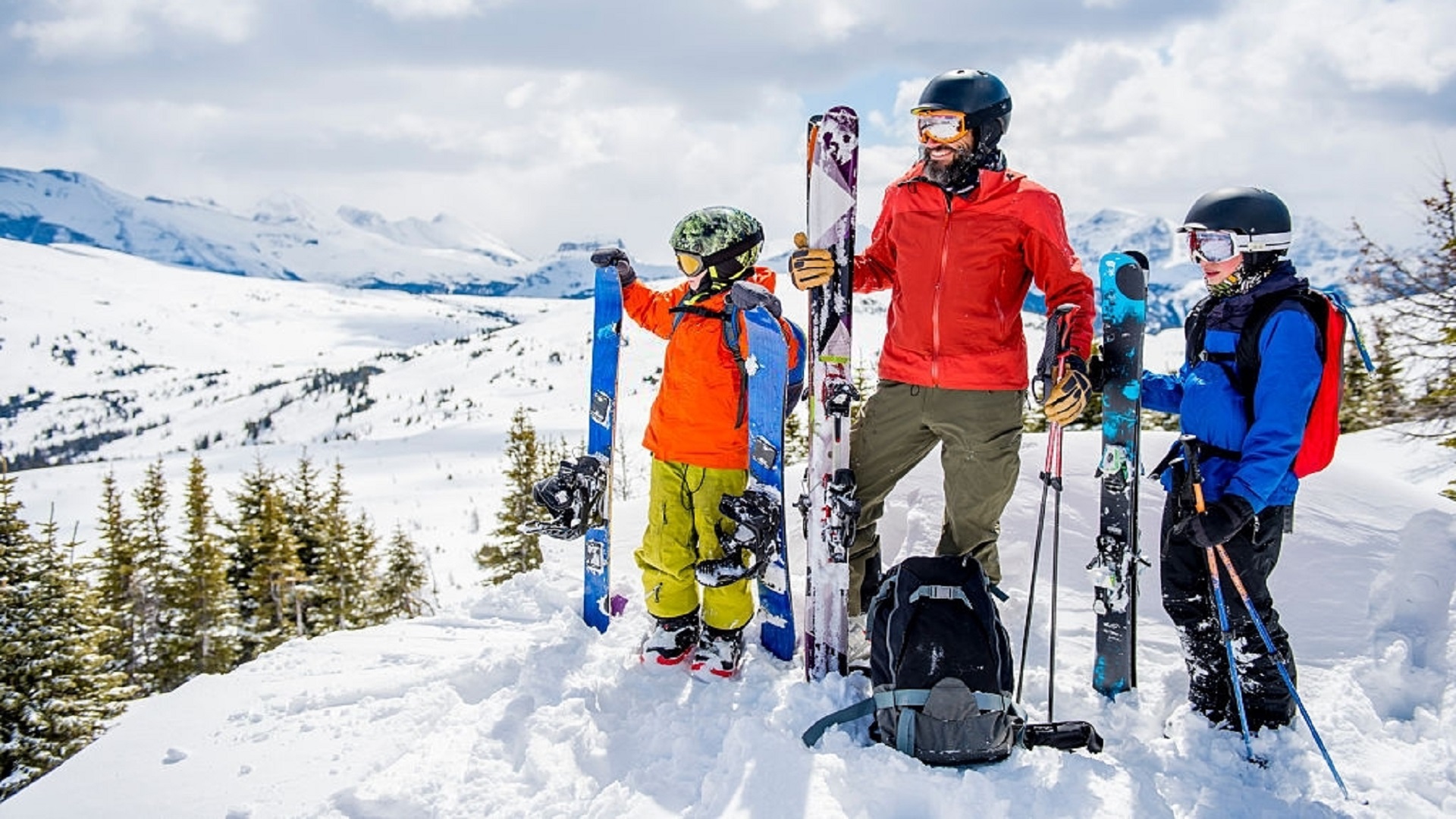
Uludag Ski Tour
December 15 2021 -
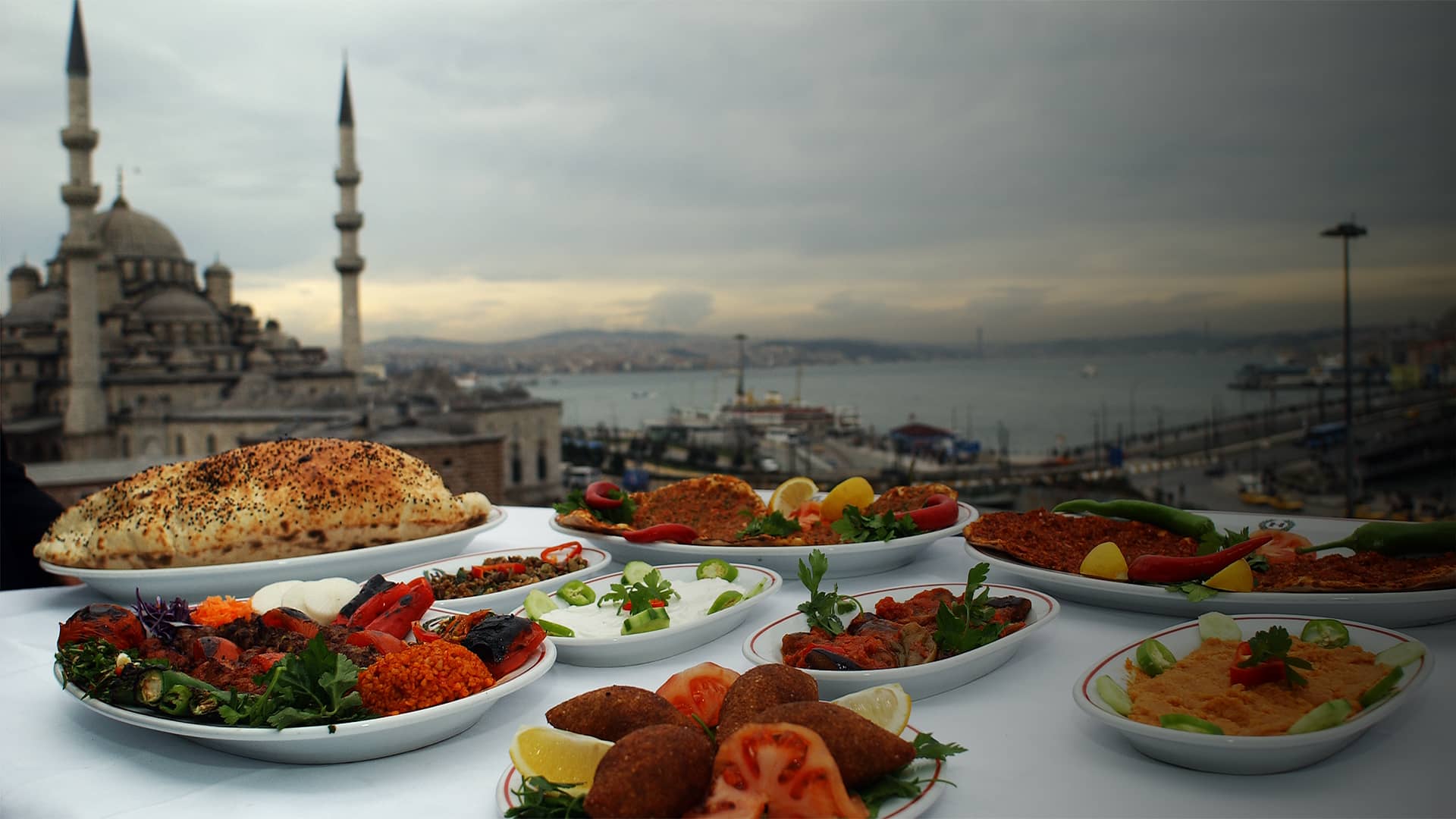
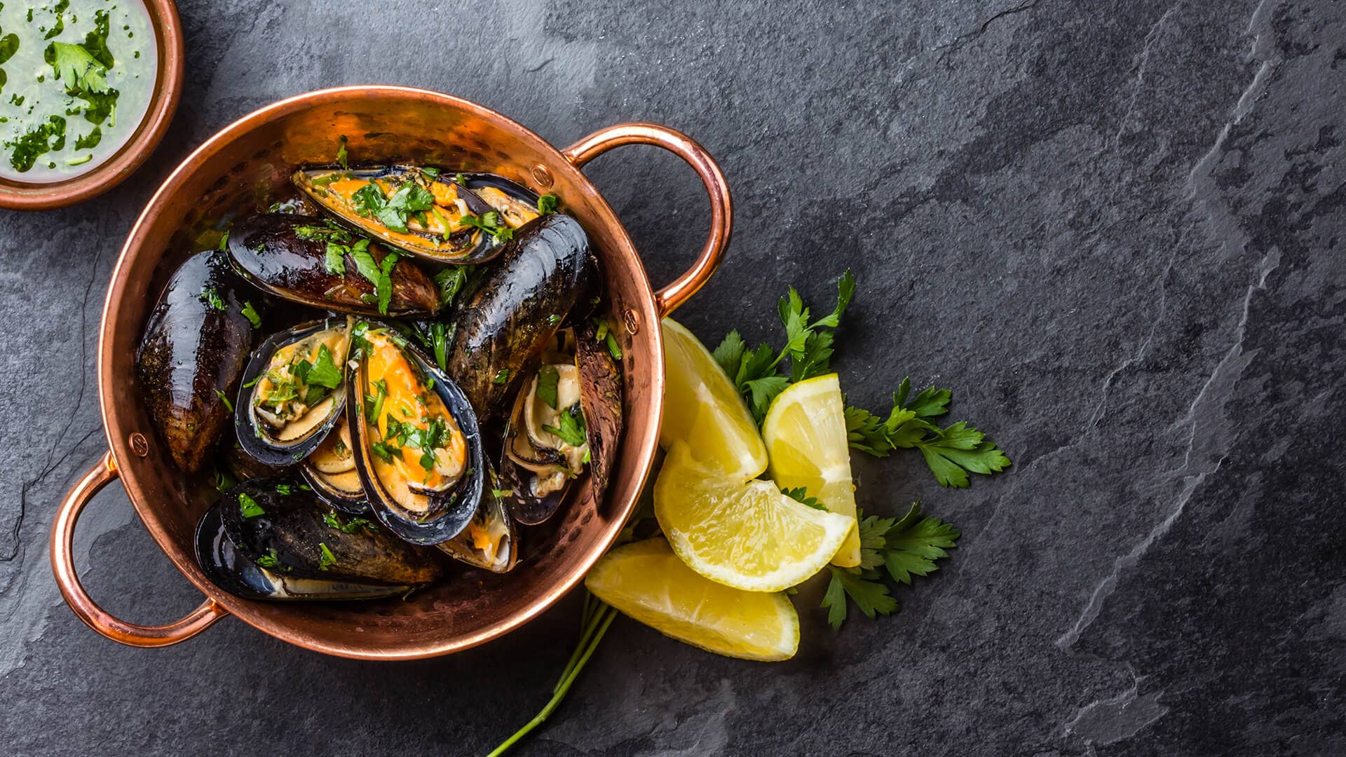
Taste Marmara Turkey
November 25 2021 -
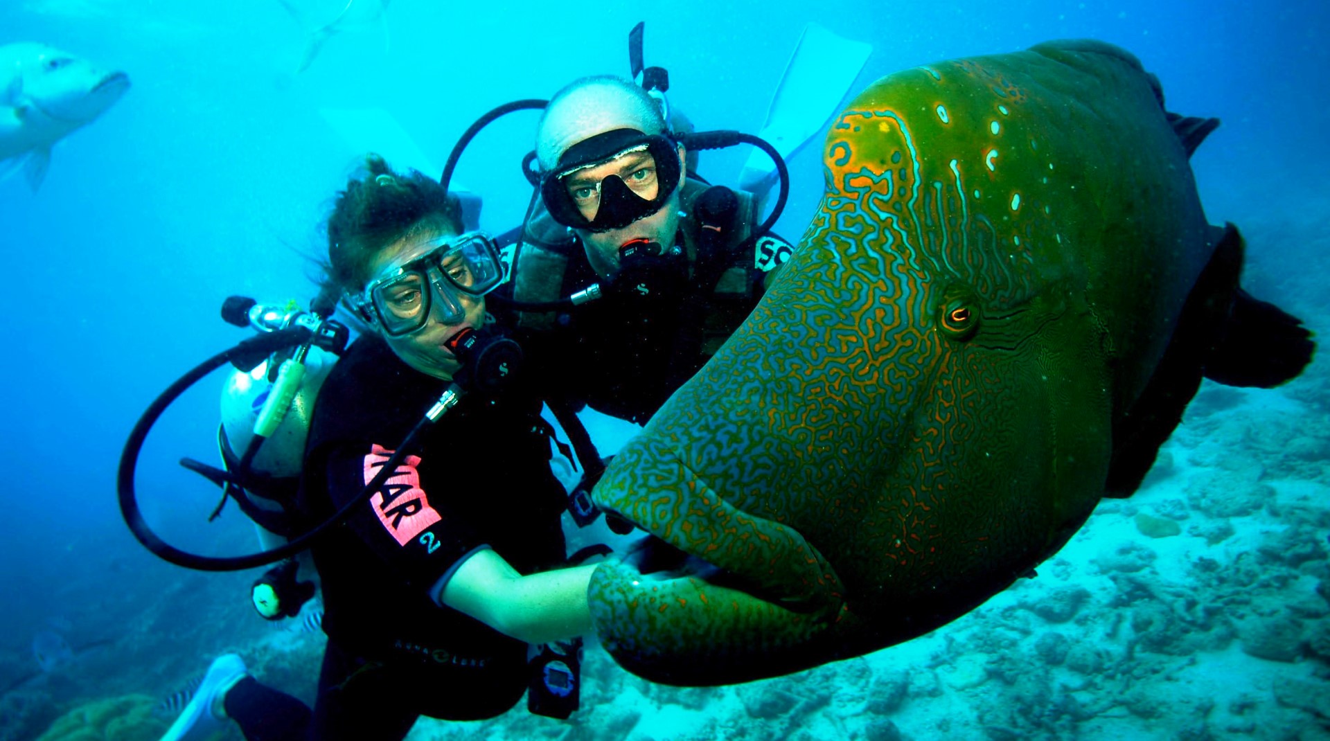
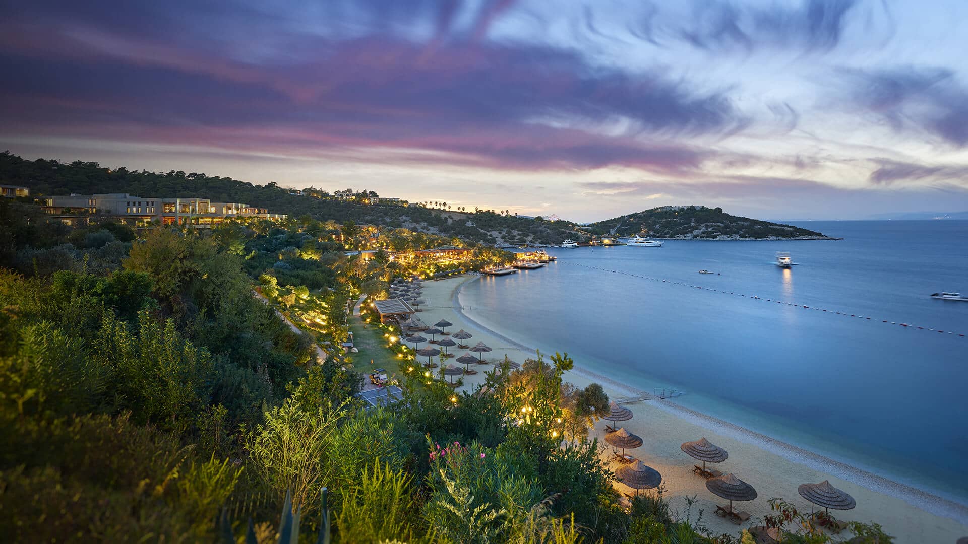
10 vibes for Bodrum
May 05 2021 -
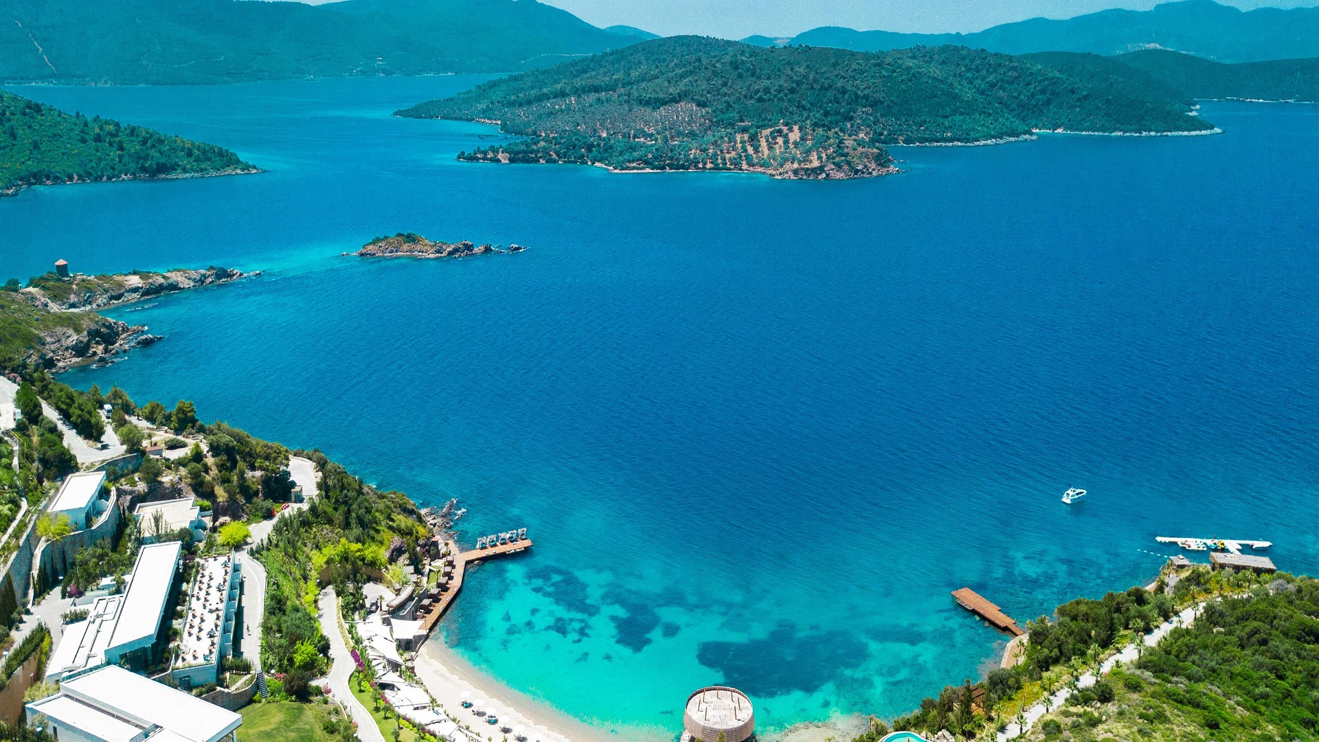
Two days In Bodrum
April 27 2021 -
Taste Bodrum Turkey
April 21 2021 -
See Bodrum Turkey
April 15 2021 -
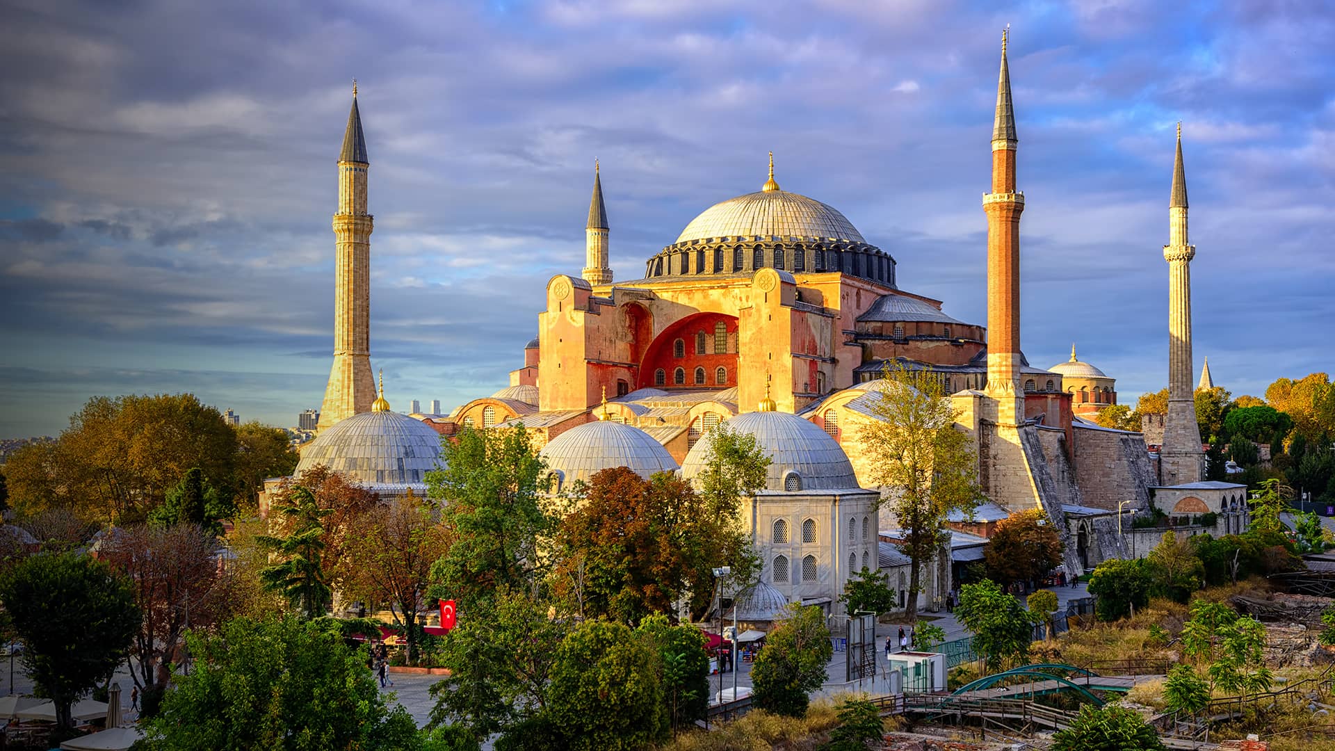
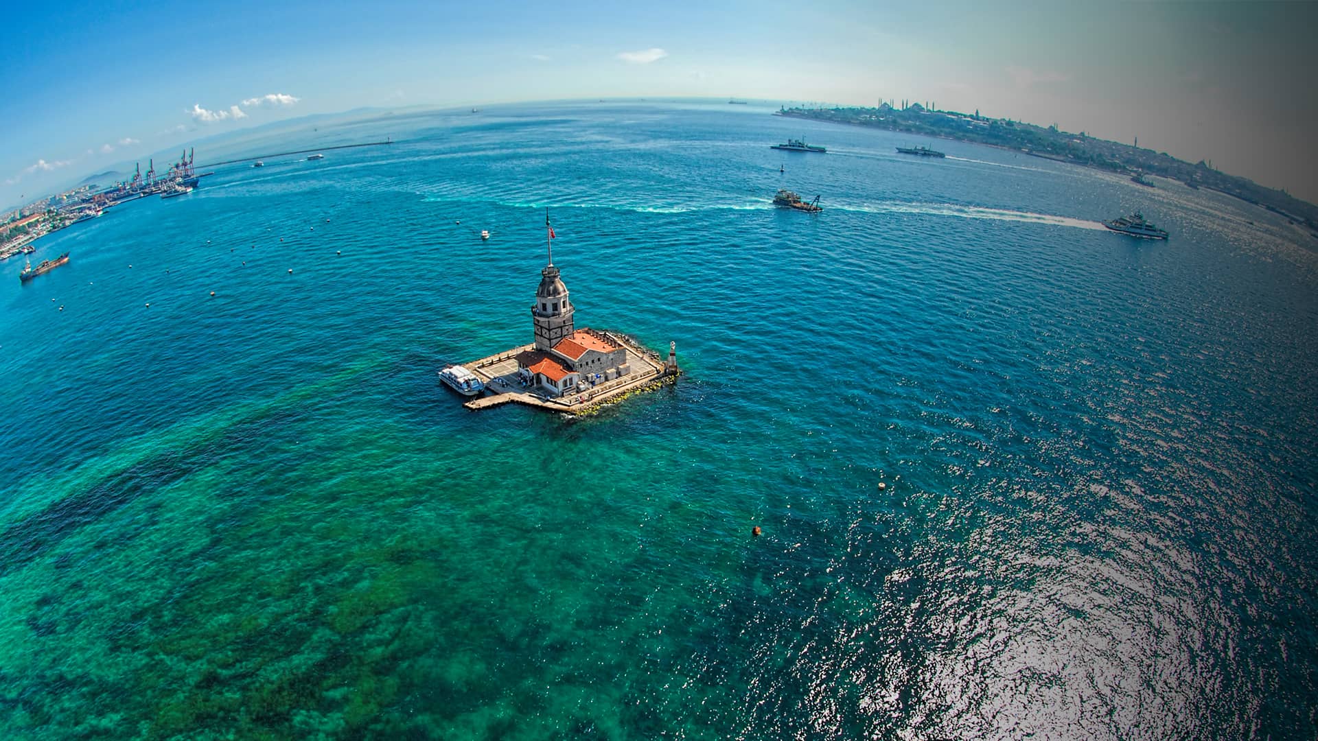
See Marmara Turkey
April 08 2021 -
Marmara Region of Turkey
April 05 2021 -

touch central turkey
April 01 2021 -
listen central turkey
March 31 2021
smell Black Sea Türkiye
Post Date:
16Jan, 2020
smell
Black Sea Türkiye
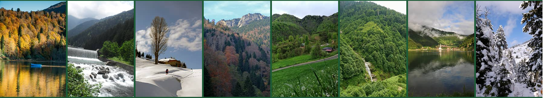
Şavşat Karagöl in Artvin
Located in Karagöl-Sahara National Park, Şavşat Karagöl is 25 km away from Şavşat town centre. It is an ideal spot for camping and caravan camping. The lake and its surroundings are the natural habitat of numerous animals including lynx, brown bear, chamois, hazel grouse, and birds of prey. Karagöl has a rare topographic character as its circumference is divided by valleys, and this particularity provoked active mass movements: Karagöl is a landslide dam. The surroundings are covered by pine and spruce forests.
Çoruh River in Artvin
The Çoruh River is 431 km long (410 km within Türkiye, 21 km in Georgia) and is one of the fastest flowing rivers in the world. It rises from the mountains near Bayburt and Artvin provinces, passes across the border and empties in the Black Sea near Batumi. In Türkiye it flows through the cities of Bayburt, İspir, Yusufeli, and Artvin, along the Kelkit-Çoruh Fault, before flowing into Georgia.
Because of its fast-running waters, it's a very popular river for white water rafting. The Çoruh has been called "an eco-tourism gem" and "Türkiye's last remaining wild river” and is being promoted for white-water kayaking. It attracts kayakers and rafters from all over the world and was the site of the 4th World Rafting Championship in 1993 and the Çoruh Extreme Kayak competition in 2005.
Fırtına Stream in Rize
Among many streams of Rize like İyidere, Taşlıdere, Büyükdere, Hemşin, Fırtına and Çağlayan, Fırtına Stream is the most important and the most famous. It consists of a creation of cascading streams and creeks on Kaçkar Mountains’ slopes facing the Black Sea. The stream has a high flow, and it is suitable for rafting. You will also find many ziplining opportunity through the stream.
Erfelek Waterfalls in Sinop
Located in the district of Erfelek in Sinop Province and consisting of 28 separate small and large waterfalls, this natural wonder is known as Erfelek Waterfalls or Tatlıca Waterfalls. The waterfalls are about 10 km from Erfelek and 45 km from Sinop.
Erfelek Tatlıca Waterfalls, one of the must-see places in Sinop, was declared a nature park in 2011. There are hiking trails here and it is a great place to spend one or more days in peaceful nature, away from the city hustle and bustle!
Plateaus in Rize
Perfect for trekking, hiking and relaxing, the plateaus of Rize offer a rich flora and fauna as well as a seamless architecture. The plateaus are perfect destinations with fabulous sceneries of fogged landscapes and wooden houses. These wooden plateau houses also serve as guesthouses and provide accommodation options.
The Ayder Plateau may be the most famous plateau of Türkiye. It located 87 kilometers away from Rize city centre and 16 kilometers away from Çamlıhemşin district centre. The plateau is the centre of attraction of visitors by thanks to the authentic architecture, thermal springs and heliskiing facilities.
South of Çamlıhemşin district, between Fırtına and Hala streams, Pokut Plateau is located at an altitude of 2,032 meters. Sal Plateau is at 2,002 meters of altitude and 23 kilometers from Çamlıhemşin and a 15-minute walking distance to Pokut Plateau. It is possible to see Caucasian Mountains and the Black Sea from Sal Plateau on high-visibility days. Gito Plateau is a scenic plateau offering landscapes that are literally above-the-clouds. The plateau is reached via a scenic forest path starting at Fırtına Valley. Huser Plateau has an uninterrupted view of Kaçkar Mountains and Palakçur, Avusor, Çeymakçur and Kavrun valleys - the spot par excellence to admire the whole region from 0 to 4000 meters.
Giresun Island in Giresun
Giresun Island is a small island that has an area of four hectares and lies 1,2 km from Giresun, on the south-eastern coast of Black Sea. It is the largest island on the Turkish Black Sea coast. In historical times, the island was likely used by Greek colonists from the mainland city of Kerasous (presently the city of Giresun). On the island are the ruins of a roofless stone temple, fortifications, and ramparts, and two wine or oil presses. The roofless temple was in ancient times attributed to the Amazons who held religious rituals there. Archaeological studies suggest it was built in the Classical-Hellenistic era. A black round stone about four metres in diameter, called Hamza Taşı in Turkish, is located in the ruins of the temple. In the present day, this stone is the starting point for a walk as part of the annual Aksu Festival and it considered a wishing stone for fertility and health.
Lake Abant in Bolu
The lake is on the Abant Mountains, 34 kilometers southwest of the province of Bolu. Lake Abant is accessible from the Ankara-İstanbul Highway. You can also get here by public transport, which leaves from Bolu center every two hours.
Depending on the season, you can cycle around the lake and fish for trout with a fishing rod. You can also paraglide, and ride around the lake on horse and buggy. The scenery will inspire you to take many photos or perhaps even to take out your drawing pad or water colours!
The locals of Bolu Province are famous for their handicrafts, and especially their skills in woodwork. Local lace and hand-carved pipes are unique to the area. Local cuisine, traditional folk clothing, and folk games are elements of local culture that are passed down from generation to generation. In the highlands, the Hacet Feast (Hacet Bayramı) is held annually in the last week of June, and visitors can enjoy watching wrestling and horse racing competitions.
Yeşilırmak River in Tokat, Amasya and Samsun
The Yeşilırmak River, the name means Green River in Turkish, is approximately 519 km long. It rises from the Köse Mountain in the north of Sivas, passes through Tokat, Amasya and Samsun provinces, and empties into the Black Sea. Some of the dams built on Yesilirmak are: Almuş, Ataköy, Hasan Uğurlu and Suat Uğurlu. It was known as the Iris in ancient times and its tributaries include the Çekerek (ancient Scylax) and the Kelkit (ancient Lycus).
Zigana Plateau in Gümüşhane
On the road between Trabzon and Bayburt, four km east of the Zigana Tunnel, the longest in Türkiye, you will see the Zigana Plateau. At an altitude of 2032 m, the plateau is equipped with lodgings, electricity, water, and communication system. In the winter, the area boasts the Zigana Ski Center.
Related Products